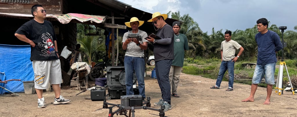
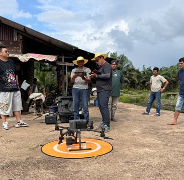
The PSPP project deployed drone systems to conduct peat depth surveys and above-ground biomass measurements.
1/12/20261 min read
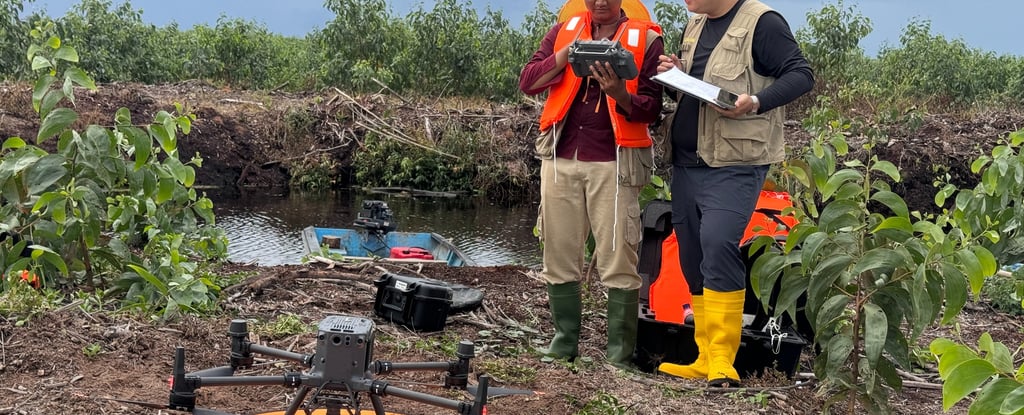
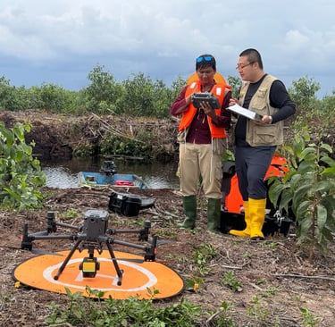
To support the accurate assessment and monitoring of carbon stocks for the "THE PEKANBARU SUNTARA PEATLAND PROJECT (PSPP)", the project team employed an integrated multi-sensor drone system to efficiently complete peat depth detection and aboveground biomass estimation.
The aboveground biomass estimation was based on high-density point cloud data acquired by a LiDAR sensor mounted on the drone, which was used to generate a Digital Surface Model (DSM) and a Digital Elevation Model (DEM), and further to calculate a Canopy Height Model (CHM). Structural parameters such as vegetation height and density were extracted from the CHM and used to establish regression models (linear or machine learning) with a limited number of ground-sampled biomass plots to estimate AGB.
Stratification of peat and non-peat areas, as well as determination of peat thickness, were accomplished through field peat resource surveys, drone LiDAR scanning, and subsequent peat depth modeling. This sampling design meets the requirements described in the M-PEAT and X-STR modules of the VCS methodology VM0007. Results show that 81.83% of the project area has a peat thickness ≥ 50 cm.
Integrating drone-based detection data with ground-measured data provides comprehensive above- and below-ground information, which is essential for quantifying carbon stocks across the peatland, verifying emission reduction outcomes, and developing evidence-based restoration plans.
These methods demonstrate the powerful role of cutting-edge remote sensing technology in carbon stock measurement and peatland restoration and conservation. We look forward to publishing detailed research findings and welcome dialogue with peers engaged in peatland science, carbon projects, and sustainable development.
Contact
Reach out for sustainable solutions today
Email:ggq0577@indacom.net
© 2025. All rights reserved.